top of page
MDC Geospatial Consulting
GIS Services
Survey Data, Made Clear.
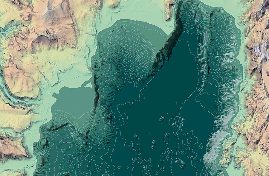
MDC Geospatial uses GIS to transform UAV imagery, point clouds, and topographic survey data into intuitive, decision-ready visuals. Deliverables include annotated PDF maps and targeted spatial analyses — such as tree counts, area and height measurements, and visibility assessments — designed to support engineers, planners, and project managers who need clear, actionable insights without wading through raw survey data.
Contact
Like what you see? Get in touch to learn more.

bottom of page